
The Rivers Crane and Brent GPX Route


Sounds like a pair of Victorian music hall brothers. Actually two of London's least celebrated rivers, and between them they get you from a gunpowder works to a sewage works almost entirely off-road.
On the map, the space between Twickenham, Heathrow, Greenford and Brentford is motorways, industrial estates and one of the world's busiest airports. Look closer and the Crane and the Brent thread a near continuous chain of parks, nature reserves and reclaimed industrial land straight through the middle of it, with Brunel's finest London viaduct along the way. Almost none of it needs a road.
Ride Details
- Ride Level: Moderate / Blue
- Distance: 39 km / 24 miles
- Terrain: Almost 90% off-road, predominantly good all-weather gravel paths, plus woodland trails, canal towpath and cycleways
- Bike: Gravel, hybrid or touring bike
- Includes: GPX route file and printable Ride Guide
The Route
A short railway-side path leads out of Twickenham to the River Crane and into Crane Park, a long, narrow strip of green following the river west. Smooth tarmac gives way to well-laid gravel, winding between trees and ducking under some substantial roads. Traffic thunders overhead. Down by the river, water voles have been reintroduced and nobody seems in much of a hurry.
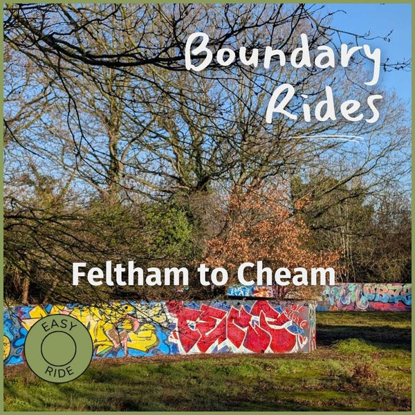
Upstream, the route crosses the old Feltham Marshalling Yards. Once more than 30 miles of sidings, closed in 1969, now grassland, scrub and woodland. Somewhere in there is the Cavalry Tunnel, a long, graffiti-covered flood relief passage that leads absolutely nowhere. You can ride through it. You probably should. Then on through Brazil Mill Wood, named for the mill that turned imported brazilwood into red dye, and Donkey Wood.
Heathrow arrives overhead, sometimes surprisingly low, with the parakeets doing their best to compete. Across the A4, Cranford Country Park hides St Dunstan's church and the handsome 18th-century stable block of Cranford House, cobbled courtyard, clock and all. The house itself was demolished in the 1940s. The stables carried on regardless.
The Paddington Arm of the Grand Union gives a few easy kilometres of towpath before a diversion into Northala Fields, four big sculpted earth mounds beside the A40, built partly from the rubble of the old Wembley Stadium. A spiral path winds to the top of the highest. This is the climbing.
At Greenford the route finally meets the River Brent and follows it through Brent Lodge Park, home to Hanwell Zoo (there is a zoo in Hanwell, yes), and out beneath Brunel's Wharncliffe Viaduct. Hanwell station, on the Elizabeth line, is just up the hill, which makes this an easy place to join the loop if Twickenham isn't handy. From Hanwell the Brent joins the Grand Union for relaxed towpath riding to Brentford, past locks and the cast-iron Gallows Bridge, before swinging through Syon Park to the Thames at Isleworth.
The Shot Tower That Probably Wasn't
Among the trees in Crane Park stands a curious brick tower, one of the last reminders of the Hounslow Gunpowder Mills, which filled this valley until the 1920s. It's called the Shot Tower. It almost certainly never made any lead shot. Nobody is quite sure what it was for, the best guess being something to do with the mills' water systems. A gunpowder works is not a place that keeps many of its buildings, so perhaps the real achievement is that it's still standing.
Along the Way
Places to Visit:
- Shot Tower, Crane Park
- Cavalry Tunnel, former Feltham Marshalling Yards
- St Dunstan's church and Cranford House stables, Cranford Country Park
- Northala Fields
- Hanwell Zoo, Brent Lodge Park
- Wharncliffe Viaduct
- Gallows Bridge, Grand Union Canal
- Syon Park
Places to Eat:
Various options en route. The London Apprentice, an old riverside pub at Isleworth, is well placed for the final stop.
Finish
From Isleworth the route follows the Duke of Northumberland's River, dug centuries ago to feed the Crane's mills, then cuts straight through the middle of Mogden Sewage Treatment Works, one of Britain's largest. Impressive engineering. Best appreciated with the wind behind you. A short stretch past Twickenham Stadium brings you back to the station.
Start and End Points
Start/Finish: Twickenham Station (Hanwell Station, on the Elizabeth line, is an easy alternative start, joining the loop near Wharncliffe Viaduct).
Ride Details
- Distance: 39 km | 24 miles
- Climb: 150 m | 480 ft
- Percentage off-road: Approximately 90%
- Trail surface: All-weather gravel | Tarmac cycleways | Woodland paths | Canal towpath
- Technical Grade: Blue - Moderate
- Mudometer: Predominantly good all-weather gravel paths, rideable year round.
Is this ride for me?

Graded Blue for the length of the day rather than the terrain. It's flat, and the surfaces are mostly good gravel, but 39 km of stop-start riding through woodland, parks and towpath adds up, with a few narrow shared paths and some busy road crossings, the A4 in particular. Four hills, all of them at Northala, and you can skip those.
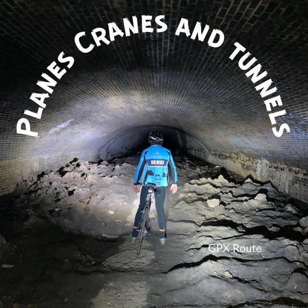
Want something shorter and gentler? The Crane half of this ride is Planes Cranes and Tunnels and the Brent half is Brunel and the Brent, both Green.
Read more about our grades here.
Is my bike OK for this ride?
A gravel, hybrid or touring bike is ideal.
Find your next ride













Or see the full GPX route library.