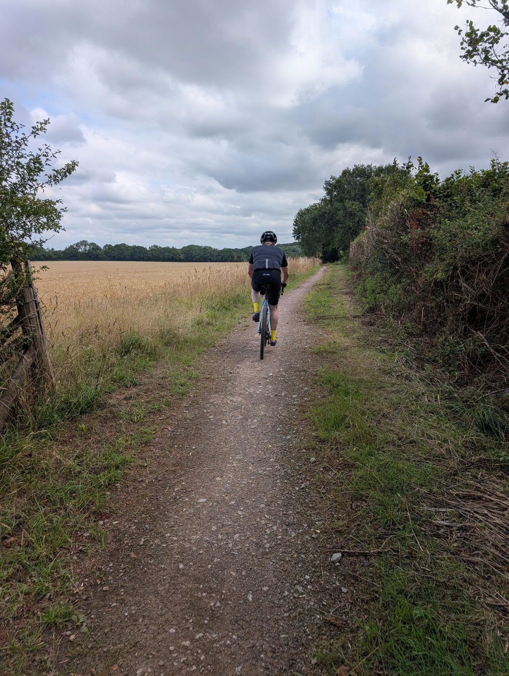
Drover's road to Winchester


A long push along England's old drovers' roads from London to Winchester Cathedral.
Ancient byways, sandy bridleways and one of the best descents in the South East.
One of our longer Red routes, stitched together from centuries-old droving tracks, with a downloadable GPX for easy navigation.
Ride Details
- Ride Level: Red - Challenging
- Distance: 122 km / 76 miles
- Terrain: Gravel, single track and minor roads (60% off-road)
- Bike: Gravel/CX or mountain bike
- Includes: GPX file and printable Ride Guide
The Route
Heading off from Clapham Junction, the route follows the Hogsmill river out towards Ashtead Common and Leatherhead, then climbs across the chalk downs to reach the first summit at Ranmore Common.
From there, a fast, flowing descent drops down beyond Newlands Corner – take this section with intent, it's one of the best pieces of gravel riding you'll find in the country. Sandy bridleways skirt the south side of Guildford, with the chance of a dip at St Catherine's Bridge as the route joins the North Downs Way.
Tidy woodland paths lead on to Alton, the ride's final summit, before the fast-flowing Ox Drove drops down into the Alre valley – an area famous for growing watercress – on the final approach into Winchester. Between Alton and Alresford, keep an eye out for the blue Camino Inglés waymarks: this stretch of drove road doubles as the old pilgrim route to Santiago de Compostela, so for a few miles you're sharing one ancient road with people walking a rather longer way than Winchester.
What Is a Drovers' Road?
Long before the railways, livestock was walked to market on foot, sometimes over huge distances, along a network of drovers' roads that still criss-cross southern England. Drovers moved cattle, sheep and geese from Wales and the West Country towards London's meat markets, resting them overnight at wide verges and drovers' inns so the animals arrived in reasonable condition rather than exhausted. Many of these old droves, this one included, survive today as exactly the kind of wide, unfenced byways that make for excellent gravel riding – centuries before anyone thought to put a bike on them. Between Alton and Alresford this route's drove road shares its path with the Camino Inglés, the English pilgrim route to Santiago de Compostela – two very different reasons to walk a long way, worn into the same stretch of ground.
Along the Way
Places to Eat:
42 miles Barley Mow, Tilford Green – a large, bike-friendly pub on a classic English village green, busy on Sundays.
Finish
Finish at Winchester Cathedral, one of the largest cathedrals in Europe and a fitting end to a day spent tracing some of England's oldest roads.
Start and End Points
Start: Clapham Junction Railway Station
Finish: Winchester Cathedral
Ride Details
- Distance: 122 km | 76 miles
- Climb: 1480 m | 4900 ft
- Percentage off-road: 60%
- Trail surface: Gravel | Cycle Paths | Single Track | Minor Roads
- Technical Grade: Red - challenging in places
- Mudometer: Moderate – sandy sections around Guildford and some horse-churned bridleways, best ridden late spring to early autumn.
Is this ride for me?

At 122km with nearly 1500m of climbing, this is a full day out for riders with decent off-road experience and reasonable fitness – budget six to eight hours including stops. The demands are more about distance and navigation than technical difficulty.
Read more about our grades here.
Is my bike OK for this ride?
The route is best completed on a gravel/CX bike or a mountain bike.
Updates
May 2025 – diversion from Easton to Winchester: the direct cycle route is closed for redevelopment.
May 2025 – the Donkey pub has closed; the Barley Mow at Tilford is a good alternative stop.
Find your next ride










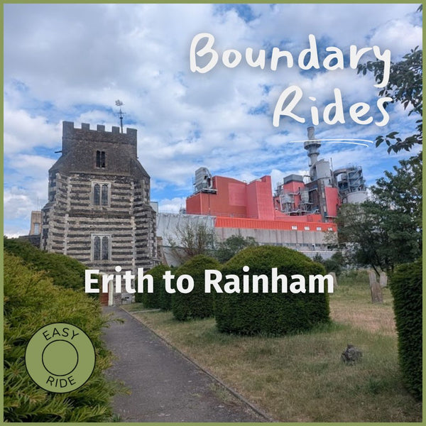
Or see the full GPX route library.
I rode the route from London to Winchester. I throughly enjoyed it. The route goes through magical ever changing countryside, the trail changes all of the time and has every type of terrain imaginable. It’s all rideable with some great fast gravel sections. I would highly recommend it and I’m certainly doing in again.
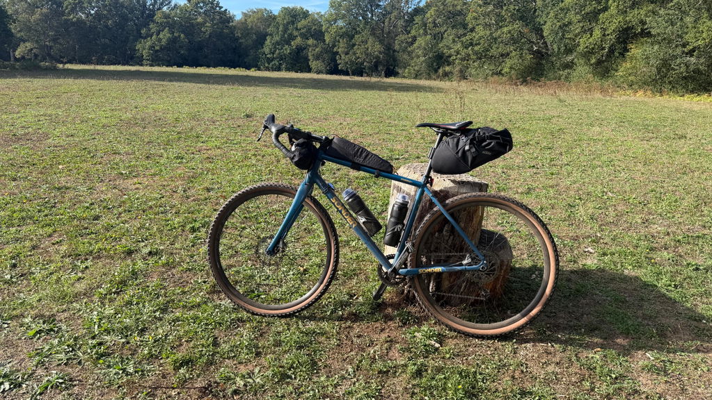
Rode this in reverse to take advantage of prevailing winds at the end of July. This route is FANTASTIC. Kudos to the Hidden Tracks team for knitting together this almost uninterrupted off-road extravaganza - It's a remarkable achievement. Stunning landscapes, constantly changing terrain - a real treat. Don't underestimate it though it is loooong. You want to be in good shape or split in two. I was 71/2 hours in the saddle ending in NW10... Recommend The Barley Mow and Little Latte for lunch at Tilford around the 60km mark. Enjoy!