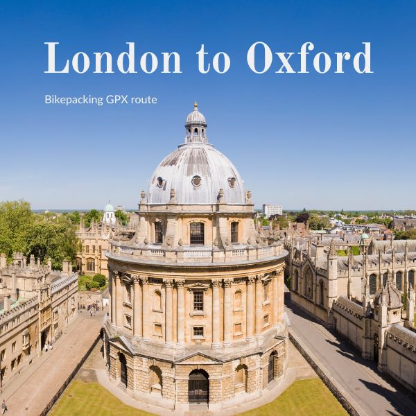
London to Oxford
GPX Gravel Route | London to Oxford | 133km
Ride Level: Blue - Intermediate
A fast gravel route from London to Oxford.
Long, flowing sections along the Thames Valley, broken up by a single push over the Chilterns before dropping into the city.
One of the most direct and rideable gravel routes to Oxford, with a downloadable GPX for easy navigation.
Why ride this route
- 133 km London to Oxford
- Fast gravel and riverside sections
- One key climb over the Chilterns
- Direct, efficient line to Oxford
This is one of the best gravel routes from London to Oxford, with a GPX file for simple navigation.
Any questions? Contact me
Ride Description
Starting at Clapham Junction the route follows the Thames towpath to Kew where it crosses the river to pick up the Grand Union Canal at Brentford. The canal effortlessly winds through the endless swathes of suburbia, until reaching the Colne river.
Did you know there’s a nature reserve under the M4/M25 junction? - neither did I, the area’s reassuringly scruffy, as you ride into Colnbrook, fascinating, look left, and there amidst a scrap yard is a forlorn mill dating from the 1600s. The High Street is, of course, the old Bath Road, so this tatty village at the end of Heathrow’s runway has 2 magnificent coaching inns, the Ostrich is said to be the oldest pub in England. Ask about the grim stories of previous guests being boiled alive!
On, on past, Slough, which isn’t as bad as Betjemen portrays, as Windsor Castle hoves into view with a chance to wave at the King. This part of the ride continues to be flat as the route follows NCR4 around Dorney Lake, the site of the 2012 Olympic rowing events.
From Bray the route follows a network of wide sweeping gravel paths, making for some fast exhilarating gravel riding as you make your way to cross the Thames on the picturesque bridges at Sonning.
You reach the first real climb at mile 48 as the path climbs over the rump of the Chilterns to briefly join the Ridgeway near Watlington. From here it’s gentle riding aside fields back into the Thames Valley to re the river ( for a quick swim) south of Oxford.
Start and End Points
Start: Clapham Junction
Finish: Oxford
Ride Details
- Distance: 133 km | 83 miles
- Climb: 715 m | 2300 ft
- Percentage off-road: 60%
- Trail surface: Natural | Gravel | Cycle Paths | Single Track
- Technical Grade: Red - some challenging sections
- Mudometer - Difficult, stretches aside ploughed fields - definitely a dry Summer ride.
Places to Visit
27 miles: Windsor Castle
Is this ride for me?
Ideal for riders with decent off-road experience and reasonable fitness.
Is my bike OK for this ride?
The route is best completed on the gravel/CX bike or a mountain bike.