Fort Reigate GPX Route
Ride Level: Red - Challenging
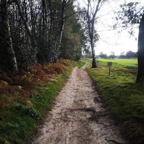
Gravel/CX MTB | GPX Route | Traffic-free | Natural, Gravel and Single Track | 50 km/50 miles | 4 hours to all day
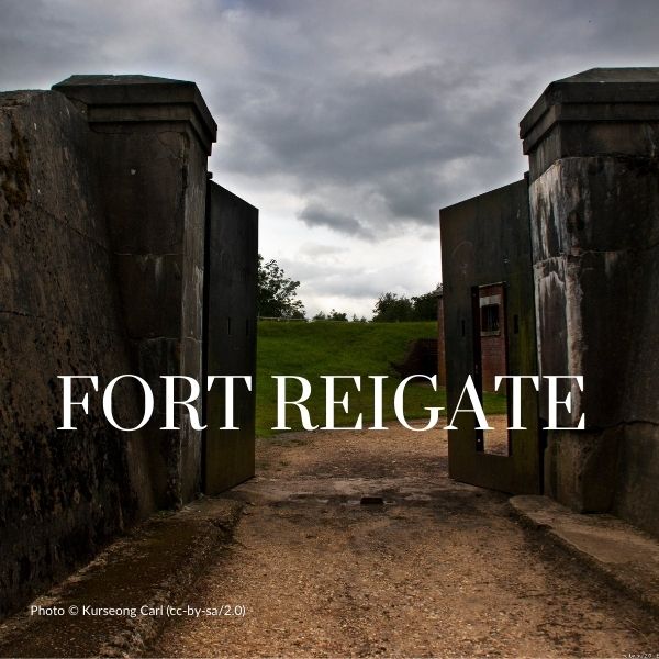
This a challenging, mainly gravel ride from London to the North Downs ridgeline, visiting Reigate Fort on London’s strategic line of last defence in the 1890s. Including several tough climbs and some tricky descents on a wide variety of surfaces, a route that fit riders can complete this 4 hours but with numerous pubs and cafes, it makes for a fascinating Summer day adventure.
Any questions? have a look at our FAQ's or Contact us
Ride Description
Starting at Clapham Junction the route runs to Wimbledon Common connecting with Richmond Park for a continuous stretch of urban gravel riding towards Kingston.
Skirting Kingston, the route joins the Hogs Mill River and later the Bonesgate Stream to Horton Park, the site of a Medieval hunting ground (OK, I like history) to Ashstead. Roman Stane Street brings the route to the back of the gallops on Epsom Downs leading on up to Banstead Heath.
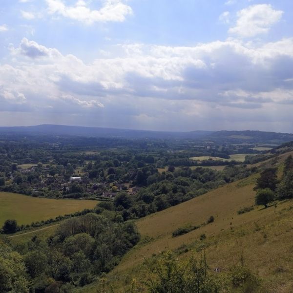
It’s a continuous climb across the Heath to the ridgeline. Worth straying along the numerous sheep trails toward the ridgeline for the best views of the High Weald – makes you understand why the Reigate Fort was so strategic. You’ll pass a memorial to a WW2 bomber crew who crashed on the ridge before coming across the Fort.
Cross the A 217 on the decorative wrought iron bridge and prepare for a steep descent to Gatton Bottom.
The route crosses 3 combes heading north to London, some of the climbs are quite technical, but can be achieved on both a CX and MTB.
Passing through Banstead and its downhill pretty much all the way, around Oaks Park, past the Bronze age fort in Stanley Park through Carshalton Park and into the Wandle Valley and back to Clapham Junction.
You may have to walk on brief sections of Footpath at mile 10 (Norbiton) and Mile 23 - (top of Epsom Down)
Start and End Points
Start/Finish: Clapham Common
Ride Details
- Distance: 80 km | 50 miles
- Climb: 850 m | 2770 ft
- Percentage off-road: 63%
- Trail surface: Natural | Gravel | Cycle Paths | Single Track
- Technical Grade: Red - Challenging in places
- Mudometer Rating - Red challenging mud and chalky climbs during winter
Places to Visit
27 miles: Reigate Fort
Places to Eat
23 miles: The Bell aka The Rat, Walton Heath
27 miles: Junction 8 Cafe
Is this ride for me?
Ideal for riders with some off-road experience and reasonable fitness
Is my bike OK for this ride?
The route is best completed on the gravel/CX bike or a mountain bike.