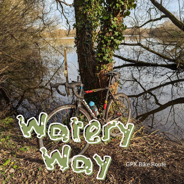
Watery Way
Ride Level: Green - Easy
All Bikes | GPX Route | Natural, Gravel and Single Track | 26 km/16 miles
Pan flat 22 miles of tracks and trails winding through old pits and along canals, this is definitely one for a scorching day with loads of shady spots for some illicit free swimming. Discover some pretty cool graffiti, have a pint in the oldest pub in England and uncover its grisly past!
Take it slow and enjoy, but be warned, there are a few stretches of footpath where you ought to wheel your bike.
Any questions? have a look at our FAQ's or Contact us
Ride Description
Take advantage of the Lizzie Line, bike-friendly and frequent, and catch a train to Iver. Leave the station and ride up to the Slough Arm of the Grand Union Canal before joining the Coln Valley Trail up Trout Lane on to Ford Lane - I wonder how many watery terms I cram into this short write-up?
It gets a bit suburban here until you reach the River Pinn (yup, I'd never realised there was such a stream either) and the lovely-sounding Celandine Way which dumps you out at the significantly less lovely Tesco Car Park. Fear not, another Trout Lane leads you to perhaps what is my favourite bit of London wasteland at Thorney, at one stage it must have been a site of major industry, now it's an overgrown seemingly forgotten patch of wildlife.
Look out for the graffiti as you ride under the Great Western main line and onto the Golf course. Use common sense when crossing this, it is a bridleway but the route isn't that clear, so use your common sense, head in the general direction and be wary of flying golf balls. You'll be dumped out on Thornley Mill Road
Cross Harmondsworth Moor and take care as you cross the A4 Colnbrook bypass, and ride through the incongruous Heathrow Airport biodiversity site, a patch of noisy wilderness with planes passing inches above your head - well almost. It's a very odd place to ride across!
Follow aside the M25 - yup, this really is an odd route, there's a footpath that leads you to Staines's ancient Lammas lands after which you'll meet the Thames proper.
Cross Staines Bridge to join the tow path that leads under the M25 to the Wraysbury gravel pits and the banks of the Colnbrook which you follow in the village. Conbrook is an overlooked gem at the end of the runway, the HIgh Steet boasts rows of Georgian buildings and 2 almost complete coaching inns dating from the time when the high street was part of the main turnpike road to Bristol. Stop in England's 'oldest' Inn the Ostrich, learnt about its particularly grisly past.
As you rejoin the Coln Brook, look out for the beautiful old mill house on your left before you cross the A4. ride around a scruffy field full of sad-looking horses before crossing the M4 and arriving back in Iver.
Start and End Points
Start/Finish: Iver Railway Station
Ride Details
- Distance: 32 km | 22 miles
- Climb: 140 m | 400 ft
- Percentage off-road: 70%
- Trail surface: Natural | Gravel | Cycle Paths | Single Track
- Technical Grade: Green - Easy
- Mudometer - All seasons, well-made gravel paths
Places to Eat
19 miles: Ostrich Pub Colnbrook
Is this ride for me?
An easy flat ride suitable for most riders
Is my bike OK for this ride?
In summer the route can be completed on any bike fitted with all-terrain tyres